Floodplain & Stormwater Management Services
SERVING SUMMIT, WASATCH AND SALT LAKE COUNTIES, INCLUDING PARK CITY, KAMAS, HEBER, SALT LAKE CITY & SURROUNDING AREAS
- FEMA permitting including Elevation Certificate, LOMA (map amendment), LOMR (map revision)
- Structure removal from regulatory floodplain
- Digital floodplain modeling
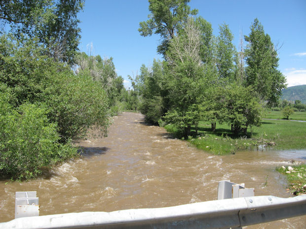
- Flood risk assessments
- Levee design and certification
- Engineered basement analysis; engineered building openings (flood vents)
- Commercial building floodproofing design
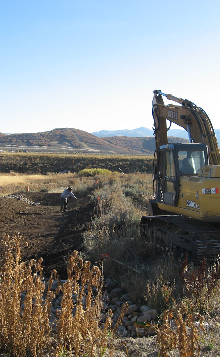
- Stormwater management hydrology & hydraulics including:
- digital watershed modeling
- Pre vs post-development runoff computations
- Retention ponds; detention basins; underground storage
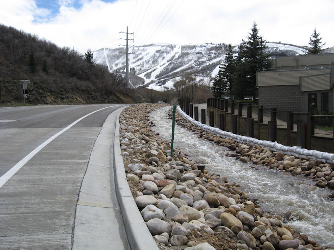
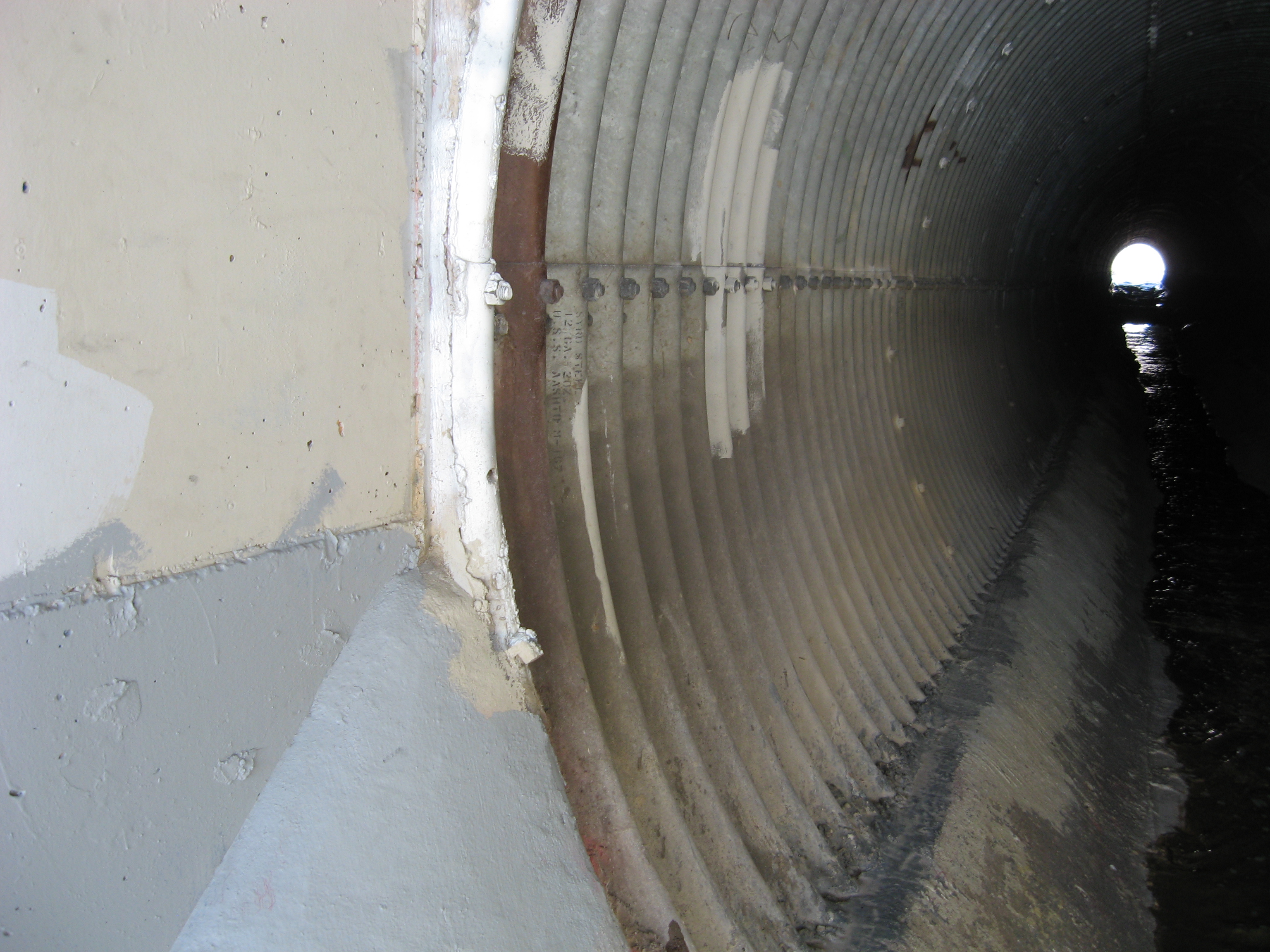
- Open channels
- Culverts, inlets, surcharged closed systems
- Digital hydraulic grade line analysis
- Dry wells; infiltration; pervious pavement
- Pond and dam design; weirs, diversions
- Groundwater mitigation / underdrains; foundation drainage / sump pumps
- Stormwater pump stations
- UDOT access and drainage permitting; site specific drainage studies
- State of Utah stream alteration permits
- State of Utah NPDES Stormwater Pollution Prevention Plans (SWPPP) / construction permits
- Wetland identification; US Army Corps of Engineers permitting
- Erosion control and BMP selection for stormwater quality
How Do I Know if My Property is in a Floodplain?
The term “floodplain” often times means different things to different people, with interpretations including:
- An independently computed floodplain that would result from a 100-year storm event of specified duration
- An area mapped by FEMA using approximate methods
- Or a local zoning district that may or may not have been delineated using accepted engineering practice
What's the Difference Between a Retention Pond and a Detention Pond?
Think “gatekeeper” ... a retention pond is designed to capture stormwater runoff and keep it there. The intent being that water leaves such a pond only by evaporation, withdrawal by mechanical means (ex: irrigation), and or exfiltration to the soil. As for a detention pond, a more appropriate term is “detention basin” because these depressions are designed to drain down to a more or less dry condition after a storm has passed. They merely capture and delay runoff, while stormwater flows out of the basin to a watercourse or delta at a reduced rate. Both can help us meet stormwater management standards for runoff quantity and quality while adding interest to the landscape.
Call Canyon Engineering for expert advice on when to plant man-made structures in the ground, and when to take advantage of the materials already on site, courtesy of Mother Nature.
Floodplain FAQs
GIVEN THE INFINITE VARIABILITY IN NATURE, EACH SITE IS UNIQUE. CONTACT US FOR ANSWERS THAT WILL ADDRESS YOUR PARTICULAR SITUATION.
Why am I paying for flood insurance on this property? I haven’t seen so much as a large puddle in 30 years!
How do I lower my required flood insurance premiums, or eliminate them altogether?
If my neighbor fills his land, will this cause my property to flood where it didn’t before?
How can my home be in a floodplain if the “stream” adjacent my land drys up during some years?
Will the downspouts my neighbor just added to her home flood my property during a thunderstorm?